Con Dao National Park


Con Dao National Park is centred on an archipelago of 14 islands, the largest of which is Con Son. The topography of Con Son island is mountainous, and dominated by a granite ridge, which runs from south-west to north-east, sheltering the bays on both sides of the island from strong winds. The highest points on the island are the summit of Mount Thanh Gia and Mount Chua, at 577 and 515 m respectively. The smaller islands reach a maximum elevation of 200 m.
There are no permanent water courses on any of the islands of the Con Dao archipelago, only seasonal streams. In the rainy season, water is plentiful but, in the dry season, there is a serious lack of water. Three reservoirs collect water during the rainy season to supply the local population during the dry season.
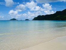
The Con Dao archipelago is located on the boundary between two sea currents: a warm one from the south, and a cold one from the north.
Attractions in Con Dao